| Parcel ID (APN) | 107-61-004B |
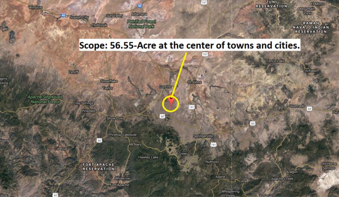
| Total Acreage | 56.55 Acres |
| Status | Surveyed and staked marking all corners. Clean title, free and clear. Taxes current. |
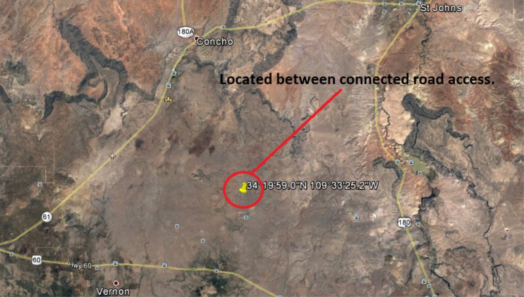
| Center Coordinates | 34.333237, -109.556906 (Click to open Google Maps) |
| Boundary Survey Points |
|
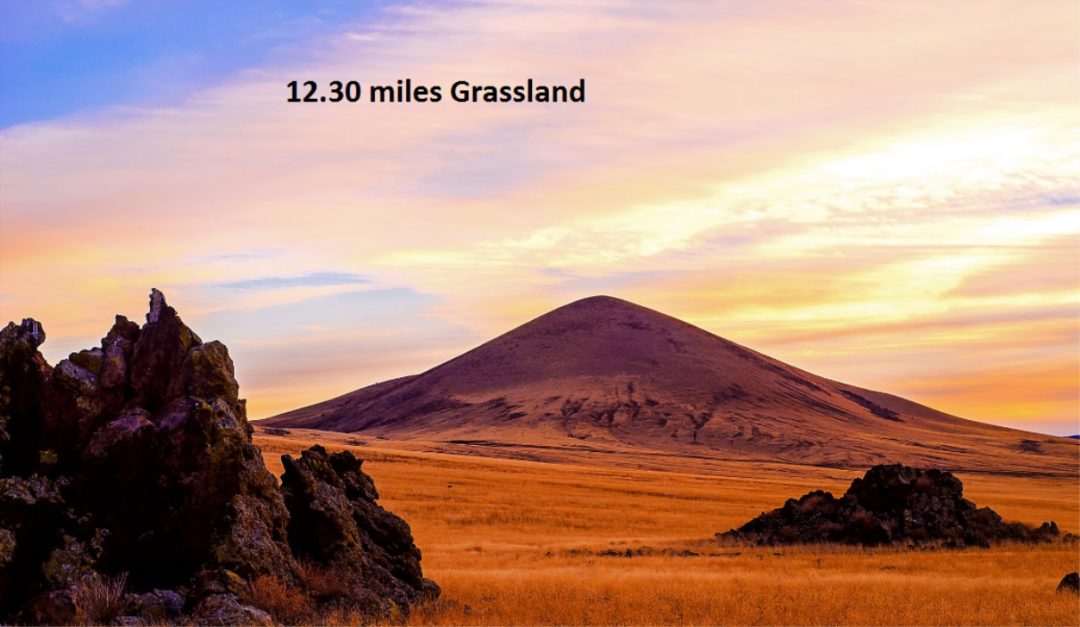
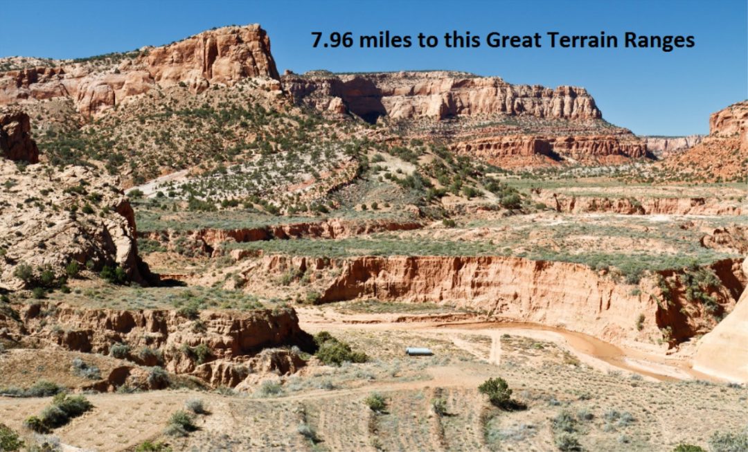
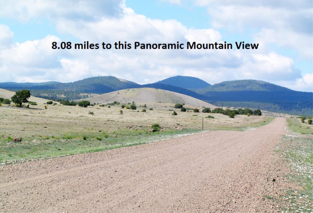
| Terrain & Views | Level and rolling hills with panoramic mountain and valley views. |
| Legal Description | BEG SE COR SEC 23 T11N R 26E W 1164.59' TO POB N 1324.06' NWLY 1546.87' SELY 1818.89' E 762.95' TO POB. MAP REF:PM 107-61 |
Utilities & Sustainable Development
- Zoning & Building: No time limit to build. This unrestricted Arizona land allows tiny homes, mobile homes, modular builds, agricultural use, or long-term RV camping.
- Water Options: Ideal for sustainable rainwater catchment, storage tanks, or a private high-desert well.
- Sewer: Permitted and ideal for alternative/septic systems.
- Power & Comms: Clear solar exposure for full off-grid clean energy. Strong high-speed cellular coverage for remote operations.
- Local Regulations: Review our comprehensive Apache County Off-Grid Development & Zoning Guide.
Proximity & Arizona Travel Times
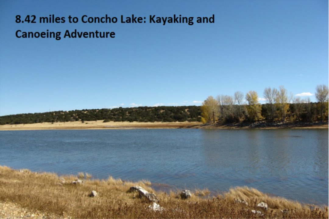
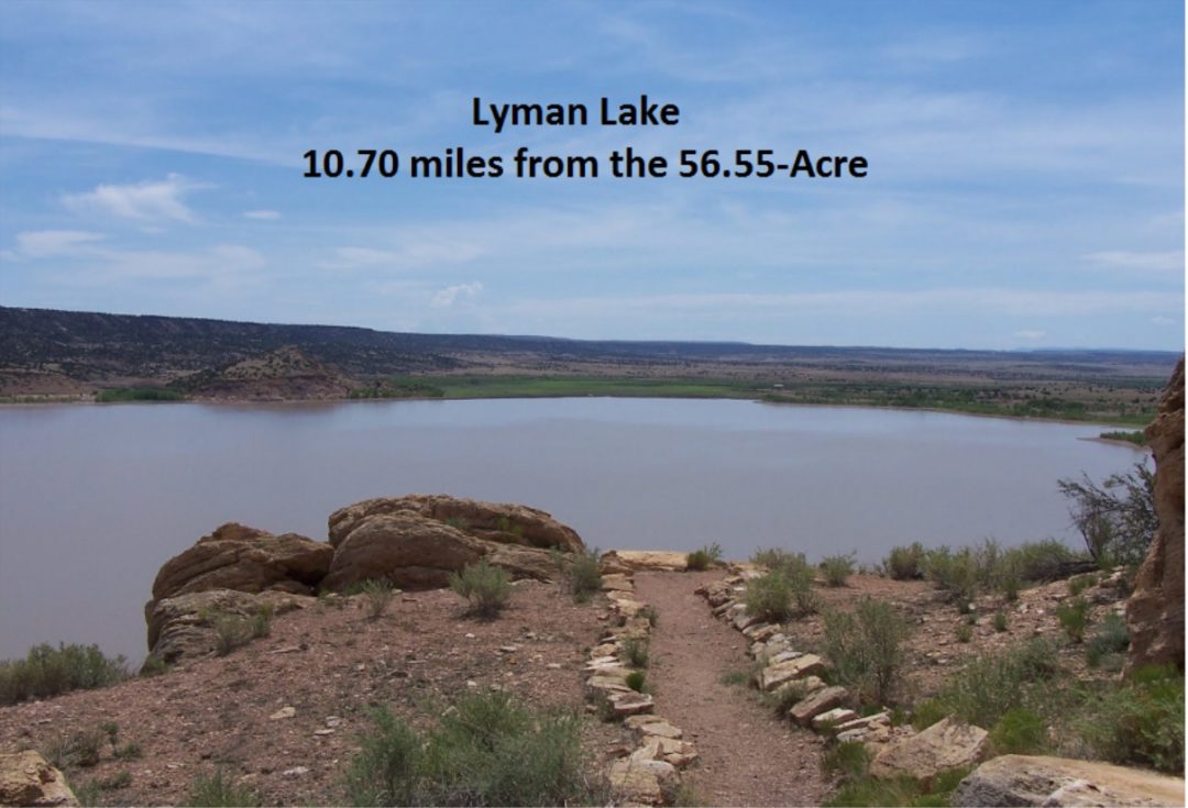
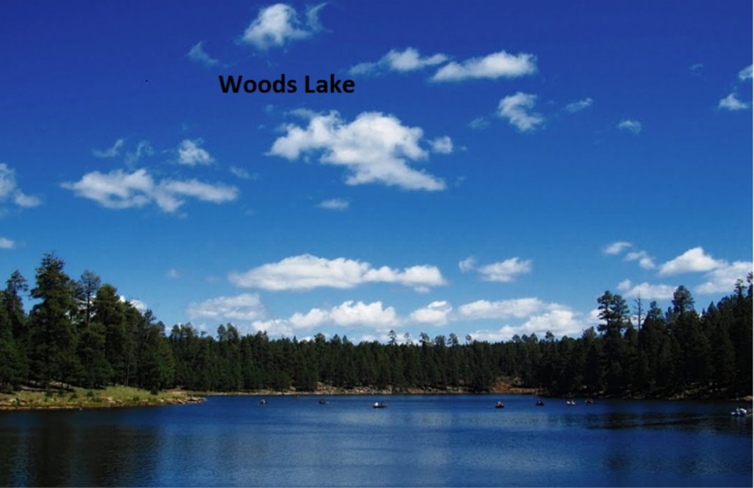
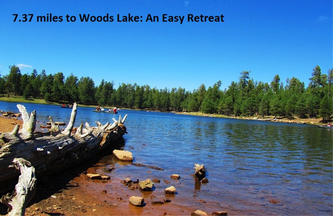
- Local Landmarks: Minutes from Concho Lake recreation, Lyman Lake State Park, and the Apache-Sitgreaves National Forests.
- Schools: Concho Elementary (10.6 mi), Vernon Elementary (30.6 mi), Blue Ridge High School (45.4 mi).
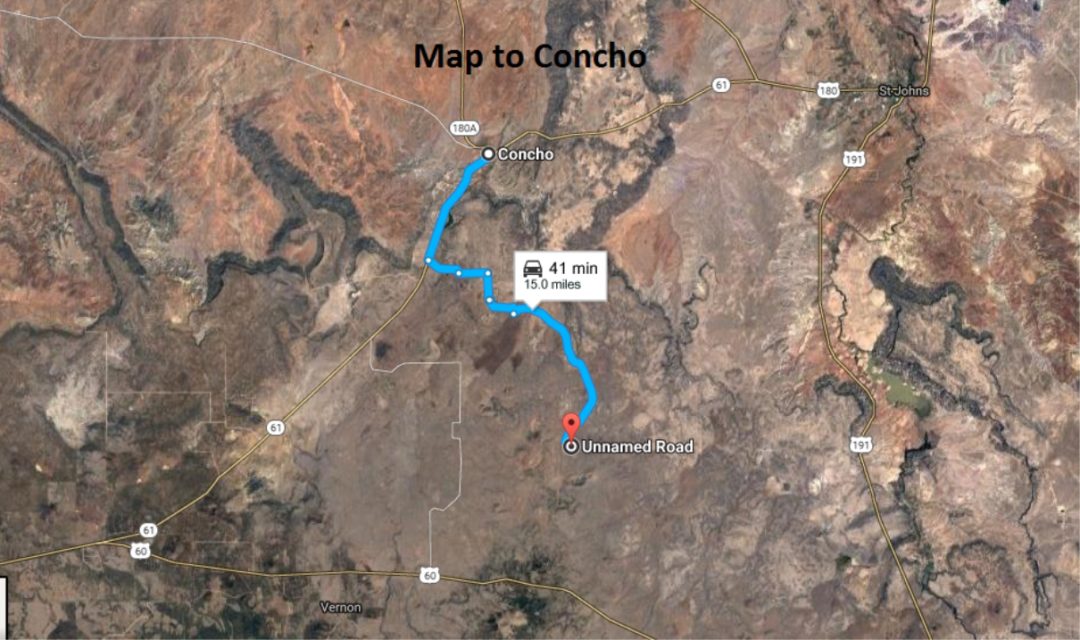
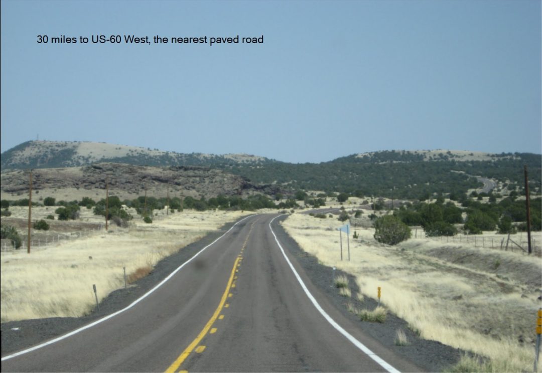
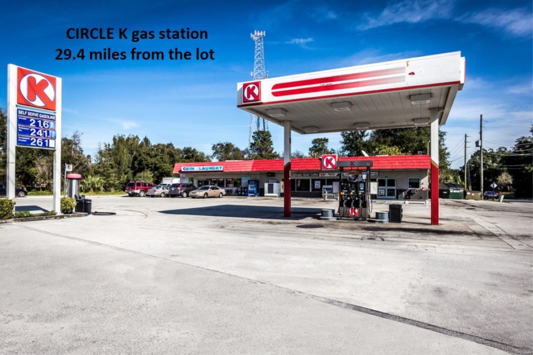
- Fuel & Supplies: 54 min to 24 Hour Gas & Go and commercial infrastructure in St. Johns, AZ.
- Services: US Post Office (47 mi), Show Low VA Health Care Clinic (1 hr via US-60 E / AZ-61 E).
- Transit/Recreation: Taylor Airport-Tyl (1 hr), Ranchero Mobile Home Park (1 hr 8 min).
Interested in this Property?
We are looking for a straightforward, fast cash sale. Direct investors, buyers, and brokers welcome.
Submit Cash Offer / Contact SellerOr email directly: land@orlino.org
Property Maps & Contextual Photos